Satellite Data Products & Scientific Analytics Solutions
We offer custom-developed geospatial and climate intelligence products tailored to support government agencies, environmental organizations, industries, researchers, and urban planners.
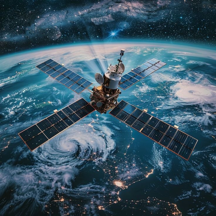
1. Earth Observation
We unlock the full potential of satellite-based Earth monitoring to understand land, water, and urban environments. Our team processes data from optical, radar, and hyperspectral sensors to derive accurate and timely insights.
Capabilities include:
Multi-sensor satellite data integration
Land cover & land use mapping
Change detection & environmental impact assessment
Vegetation indices & crop health evaluation
Urban expansion monitoring & spatial planning support
Empowering data-driven environmental and regional development.
2. Satellite Data Analysis
We process and refine raw satellite data into scientifically validated information using advanced computational methods.
Services offered:
Atmospheric correction & geometric adjustments
Spectral feature extraction & classification
Time-series trends & anomaly detection
Data fusion for precision analytics
Quality control and accuracy assessments
Delivering clarity, consistency, and insight from complex datasets.
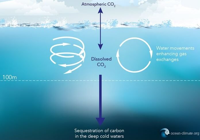
3. Ocean & Climate Data Products
We develop customized analytics that help evaluate ocean health, climate risks, and weather-driven vulnerability.
Focus Areas:
Chlorophyll-a & ocean productivity estimation
Suspended sediment concentration monitoring
Sea surface temperature & variability studies
Extreme weather impact analysis
Coastal flooding & vulnerability mapping
Climate scenario modeling & forecasting
Supporting smarter policies for climate resilience.
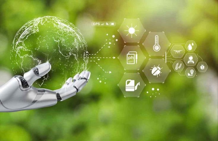
4. Research & Development & AI/ML
Driving innovation with emerging technologies for scalable Earth analytics and scientific breakthroughs.
What we deliver:
Custom algorithm development
AI/ML models for automated mapping
Scientific workflow design & prototyping
Peer-reviewed research documentation
Integration with decision–support systems
Transforming future Earth science with technology.
5. Environmental Monitoring
We support sustainability by continuously tracking ecosystem health and environmental change.
Monitoring solutions:
Deforestation & forest carbon loss estimation
Water quality & lake health assessment
Agricultural productivity & irrigation analysis
Biodiversity & habitat conservation indicators
Drought, flood & disaster impact monitoring
Helping safeguard natural resources with real-time insights.
6. Polar & Cryosphere Monitoring
We study Earth’s most climate-sensitive regions to support global change research.
Expertise in:
Glacier mass balance & retreat assessment
Arctic/Antarctic sea-ice dynamics
Snow cover mapping & climate trend analysis
Cryosphere–climate interaction studies
Contributing to global climate action with polar intelligence.
📦 Delivery Formats Available
GeoTIFF, NetCDF, HDF5, Shapefiles
Interactive dashboards (WebGIS)
Reports, Story Maps & Custom Portals
✅ Fully customizable as per client requirement
✅ Supports major satellite missions (Sentinel, Landsat, MODIS etc.)